
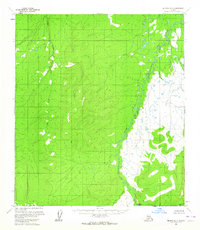
1952 Map of Ruby A-3
USGS Topo · Published 1957About this map
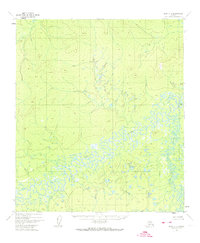
The Nowitna River snakes through this Interior Alaska landscape, creating an intricate pattern of oxbow lakes, sloughs, and marshy lowlands. Based on aerial photography from 1952, the map illustrates the complex hydrology of this river basin before any significant human development was recorded on the topography. The terrain transitions from these water-logged river bottoms to higher, wooded elevations reaching over 1,000 feet, where numerous unnamed drainage systems feed back into the primary river valley. This document captures the wilderness character of the Alaska-Fourth Judicial Division, preserving the specific historical path and morphology of the river system as it existed in the mid-20th century.
Find a feature on this map
1 named feature on this map. Tap any name to fly to it.
Don’t see what you’re looking for? This feature index may not catch every label — zoom into the map to look around manually.
Map Details
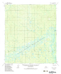
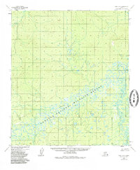
Editions of this 1952 Ruby A-3 Map
4 editions found
Other maps of this area

1950 · Medfra
USGS Topo · 1:250,000

1951 · Ruby
USGS Topo · 1:250,000

1952 · Ruby A-2
USGS Topo · 1:63,360

1952 · Ruby B-2
USGS Topo · 1:63,360

1952 · Ruby A-4
USGS Topo · 1:63,360

1952 · Ruby B-4
USGS Topo · 1:63,360

1952 · Ruby B-3
USGS Topo · 1:63,360

1952 · Ruby
USGS Topo · 1:250,000
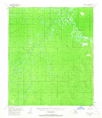
1953 · Ruby B-3
USGS Topo · 1:63,360
1954 · Medfra D-3
USGS Topo · 1:63,360