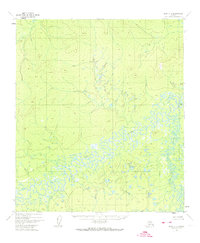
1952 Map of Ruby A-3
USGS Topo · Published 1974About this map
Meandering waterways dominate this interior Alaskan landscape, which was mapped from aerial photography in the early 1950s. The Nowitna River winds across the central and southern portions of the quadrangle in an intricate series of oxbows and tight bends, illustrating the dynamic nature of this riverine environment. The confluence where the Sulukna River meets the Nowitna highlights the expansive wetlands and low-lying marshes that characterize this region's topography. Further north, the Lost River and the high point at Vabm Suluk 2901 provide the only significant geographic anchors in an area largely devoid of human infrastructure. The absence of roads or established trails throughout this survey emphasizes the isolation of the territory during the mid-20th century.
Find a feature on this map
4 named features on this map. Tap any name to fly to it.
Don’t see what you’re looking for? This feature index may not catch every label — zoom into the map to look around manually.
Map Details
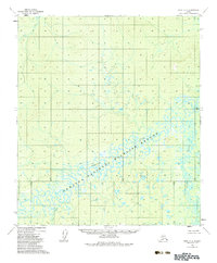
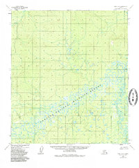
Editions of this 1952 Ruby A-3 Map
4 editions found
Other maps of this area

1950 · Medfra
USGS Topo · 1:250,000

1951 · Ruby
USGS Topo · 1:250,000

1952 · Ruby A-2
USGS Topo · 1:63,360

1952 · Ruby B-2
USGS Topo · 1:63,360

1952 · Ruby A-3
USGS Topo · 1:63,360

1952 · Ruby A-4
USGS Topo · 1:63,360

1952 · Ruby B-4
USGS Topo · 1:63,360

1952 · Ruby B-3
USGS Topo · 1:63,360

1952 · Ruby
USGS Topo · 1:250,000
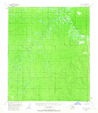
1953 · Ruby B-3
USGS Topo · 1:63,360