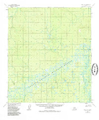
1952 Map of Ruby A-3
USGS Topo · Published 1985About this map
Nowitna National Wildlife Refuge dominates this interior landscape, preserving a vast network of wetlands and meandering waterways as they appeared during the early 1950s. The Nowitna River snakes across the central terrain, characterized by intricate oxbow lakes and complex drainage patterns typical of the subarctic floodplain. Along the eastern margin, the Sulukna River feeds into this aquatic system, while Lost River and Oat Creek define the hydrology of the western and northern reaches. A singular survey marker, VABM Sulu 290, stands as a fixed point of reference in a wilderness otherwise devoid of roads or permanent settlements. The map reflects a period before the formal establishment of the refuge by the Alaska National Interest Lands Conservation Act, though it incorporates those administrative boundaries from the 1980s over the original 1952 aerial photogrammetric data.
Find a feature on this map
6 named features on this map. Tap any name to fly to it.
Don’t see what you’re looking for? This feature index may not catch every label — zoom into the map to look around manually.
Map Details
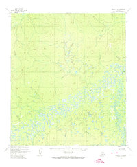
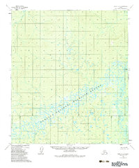
Editions of this 1952 Ruby A-3 Map
4 editions found
Other maps of this area

1950 · Medfra
USGS Topo · 1:250,000

1951 · Ruby
USGS Topo · 1:250,000

1952 · Ruby A-2
USGS Topo · 1:63,360

1952 · Ruby B-2
USGS Topo · 1:63,360

1952 · Ruby A-3
USGS Topo · 1:63,360

1952 · Ruby A-4
USGS Topo · 1:63,360

1952 · Ruby B-4
USGS Topo · 1:63,360

1952 · Ruby B-3
USGS Topo · 1:63,360

1952 · Ruby
USGS Topo · 1:250,000
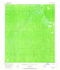
1953 · Ruby B-3
USGS Topo · 1:63,360