
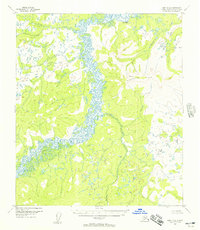
1952 Map of Ruby B-4
USGS Topo · Published 1957About this map
The Sulatna River winds through this interior landscape, creating a complex network of wetlands and oxbows that dominate the central corridor. Established by aerial photography in the early 1950s, the map reveals a wilderness shaped by drainage patterns where Bonanza Creek and Little Bonanza Creek join the main river valley. To the east, the Monzonite Hills rise sharply, anchored by the survey station at VABM 1251 Flint. This era of mapping shows a region largely defined by its natural watercourses, with only a single unnamed Trail cutting across the western hills near Tip Creek and Flint Creek. The lack of established roads or settlements at this date emphasizes the area's isolation within the Yukon-Koyukuk region.
Find a feature on this map
10 named features on this map. Tap any name to fly to it.
Don’t see what you’re looking for? This feature index may not catch every label — zoom into the map to look around manually.
Map Details
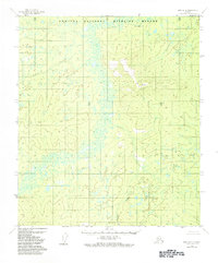
Editions of this 1952 Ruby B-4 Map
3 editions found
Other maps of this area

1951 · Ruby
USGS Topo · 1:250,000

1952 · Ruby A-3
USGS Topo · 1:63,360

1952 · Ruby A-4
USGS Topo · 1:63,360

1952 · Ruby C-3
USGS Topo · 1:63,360

1952 · Ruby C-5
USGS Topo · 1:63,360

1952 · Ruby B-3
USGS Topo · 1:63,360

1952 · Ruby B-5
USGS Topo · 1:63,360

1952 · Ruby A-5
USGS Topo · 1:63,360

1952 · Ruby C-4
USGS Topo · 1:63,360

1952 · Ruby
USGS Topo · 1:250,000