
1952 Map of Kantishna River C-5
USGS Topo · Published 1957About this map
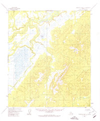
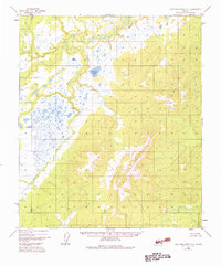
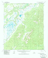
The Chitanana Mountains dominate the eastern half of this interior Alaskan landscape, characterized by complex ridgelines and high-elevation topography recorded during mid-century aerial surveys. In the western lowlands, the Chitanana River winds through a vast network of wetlands and tundra ponds. This drainage system includes Redlands Lake, which sits at the base of the foothills where the upland slopes meet the marshy valley floor. The map reflects a moment in 1952 when the region remained largely undeveloped, with no roads or structures indicated, focusing entirely on the natural hydrography and terrain of the Yukon-Koyukuk region.
Find a feature on this map
3 named features on this map. Tap any name to fly to it.
Don’t see what you’re looking for? This feature index may not catch every label — zoom into the map to look around manually.
Map Details
Editions of this 1952 Kantishna River C-5 Map
4 editions found
Other maps of this area

1948 · Kantishna River
USGS Topo · 1:250,000

1951 · Kantishna River
USGS Topo · 1:250,000

1952 · Kantishna River C-6
USGS Topo · 1:63,360

1952 · Kantishna River D-5
USGS Topo · 1:63,360

1952 · Kantishna River
USGS Topo · 1:250,000

1952 · Kantishna River B-6
USGS Topo · 1:63,360

1952 · Kantishna River D-6
USGS Topo · 1:63,360

1952 · Kantishna River B-5
USGS Topo · 1:63,360

1952 · Kantishna River C-4
USGS Topo · 1:63,360

1953 · Kantishna River B-4
USGS Topo · 1:63,360