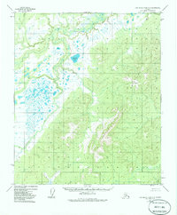
1952 Map of Kantishna River C-5
USGS Topo · Published 1985About this map
The Chitanana River weaves through a landscape defined by expansive wetlands and high elevation peaks, as documented by this 1952 aerial study of the Yukon-Koyukuk region. In the eastern portion of the map, the Chitanatala Mountains rise sharply, providing a dramatic contrast to the low-lying basin to the west. This survey illustrates a wilderness nearly untouched by permanent human infrastructure, focusing instead on natural hydrological patterns and survey markers like VABM Gosna.
Find a feature on this map
5 named features on this map. Tap any name to fly to it.
Don’t see what you’re looking for? This feature index may not catch every label — zoom into the map to look around manually.
Map Details
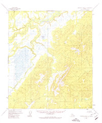
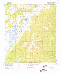
Editions of this 1952 Kantishna River C-5 Map
4 editions found
Other maps of this area

1948 · Kantishna River
USGS Topo · 1:250,000

1951 · Kantishna River
USGS Topo · 1:250,000

1952 · Kantishna River C-5
USGS Topo · 1:63,360

1952 · Kantishna River C-6
USGS Topo · 1:63,360

1952 · Kantishna River D-5
USGS Topo · 1:63,360

1952 · Kantishna River
USGS Topo · 1:250,000

1952 · Kantishna River B-6
USGS Topo · 1:63,360

1952 · Kantishna River D-6
USGS Topo · 1:63,360

1952 · Kantishna River B-5
USGS Topo · 1:63,360

1952 · Kantishna River C-4
USGS Topo · 1:63,360