
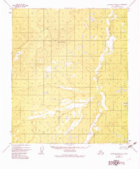
1952 Map of Kantishna River C-4
USGS Topo · Published 1974About this map
The Chata Natala Mountains dominate the northwestern portion of this 1950s interior landscape, providing a high-elevation backdrop to a complex network of wetlands and tundra. Mapped primarily from 1952 aerial photography, the sheet records an unsurveyed wilderness where the Cosna River meanders through the eastern lowlands. This survey preserves a specific moment in the mapping of the Fairbanks Meridian, when points like VABM Tan 2486 and VABM Zitz 1441 served as the primary geodetic anchors for a region still lacking any established road system. The lack of cultural features emphasizes the remote character of the Yukon-Koyukuk region before more modern infrastructure reached this part of the Alaskan interior.
Find a feature on this map
4 named features on this map. Tap any name to fly to it.
Don’t see what you’re looking for? This feature index may not catch every label — zoom into the map to look around manually.
Map Details
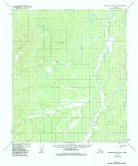
Editions of this 1952 Kantishna River C-4 Map
3 editions found
Other maps of this area

1948 · Kantishna River
USGS Topo · 1:250,000

1951 · Kantishna River
USGS Topo · 1:250,000

1952 · Kantishna River C-5
USGS Topo · 1:63,360

1952 · Kantishna River D-5
USGS Topo · 1:63,360

1952 · Kantishna River
USGS Topo · 1:250,000

1952 · Kantishna River B-5
USGS Topo · 1:63,360

1952 · Kantishna River D-3
USGS Topo · 1:63,360

1952 · Kantishna River C-3
USGS Topo · 1:63,360

1953 · Kantishna River B-4
USGS Topo · 1:63,360

1953 · Kantishna River B-3
USGS Topo · 1:63,360