
1953 Map of Kantishna River B-3
USGS Topo · Published 1956About this map
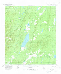
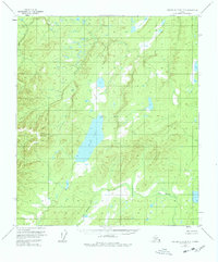
Wien Lake dominates this mid-century topographic study of the Alaska interior, situated within the Tanana Valley watershed. The landscape is defined by the winding course of the Zitziana River, which cuts through the northern portion of the quadrangle amidst a complex network of small ponds and wetlands. Evidence of human presence is minimal, marked only by a solitary Cabin on the northwestern shore of the lake. High-elevation control points such as Vabm 2280 Wien and the 2190 Azimuth Mark provide the primary geographic anchors for this remote terrain. Mapped primarily through 1954 aerial photography, the sheet captures the hydrography and elevation of the region before significant modern alteration, preserving the original wilderness character of the Alaska Fourth Judicial Division.
Find a feature on this map
6 named features on this map. Tap any name to fly to it.
Don’t see what you’re looking for? This feature index may not catch every label — zoom into the map to look around manually.
Map Details
Editions of this 1953 Kantishna River B-3 Map
3 editions found
Other maps of this area

1948 · Kantishna River
USGS Topo · 1:250,000

1951 · Kantishna River
USGS Topo · 1:250,000

1952 · Kantishna River A-3
USGS Topo · 1:63,360

1952 · Kantishna River
USGS Topo · 1:250,000

1952 · Kantishna River A-2
USGS Topo · 1:63,360

1952 · Kantishna River C-3
USGS Topo · 1:63,360

1952 · Kantishna River C-4
USGS Topo · 1:63,360

1953 · Kantishna River B-2
USGS Topo · 1:63,360

1953 · Kantishna River B-4
USGS Topo · 1:63,360

1953 · Kantishna River A-4
USGS Topo · 1:63,360