
1953 Map of Kantishna River B-2
USGS Topo · Published 1956About this map
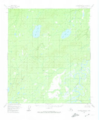
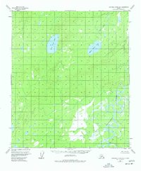
Kantishna River meanders through the southeast corner of this interior Alaskan landscape, characterized by complex oxbows and marshy lowlands. The terrain rises significantly to the north and west, dominated by prominent highlands between the river valley and the basins containing West Twin Lake and East Twin Lake. These twin water bodies serve as the primary landmarks in an otherwise undeveloped territory, surrounded by numerous unnamed ponds and glacial depressions. Evidence of human presence is nearly non-existent in this 1950s survey, with only a solitary Cabin noted along a lower bend of the river. The lack of roads or established settlements emphasizes the seasonal nature of travel and subsistence in the Yukon-Koyukuk region before more modern infrastructure reached the Alaskan interior.
Find a feature on this map
4 named features on this map. Tap any name to fly to it.
Don’t see what you’re looking for? This feature index may not catch every label — zoom into the map to look around manually.
Map Details
Editions of this 1953 Kantishna River B-2 Map
3 editions found
Other maps of this area

1948 · Kantishna River
USGS Topo · 1:250,000

1951 · Kantishna River
USGS Topo · 1:250,000

1952 · Kantishna River A-3
USGS Topo · 1:63,360

1952 · Kantishna River C-1
USGS Topo · 1:63,360

1952 · Kantishna River A-1
USGS Topo · 1:63,360

1952 · Kantishna River
USGS Topo · 1:250,000

1952 · Kantishna River A-2
USGS Topo · 1:63,360

1952 · Kantishna River B-1
USGS Topo · 1:63,360

1952 · Kantishna River C-3
USGS Topo · 1:63,360

1953 · Kantishna River B-3
USGS Topo · 1:63,360