
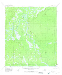
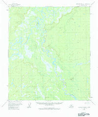
1952 Map of Kantishna River B-1
USGS Topo · Published 1957About this map
The Toklat River winds through a complex network of wetlands and oxbow lakes before its confluence with the Kantishna River in this interior Alaska landscape. Surveyed in the early 1950s using aerial photography, the map reveals a wilderness dominated by meandering watercourses and floodplains. Human activity is sparse, centered primarily around the small settlement of Toklat and scattered Cabins located near the riverbanks. This document captures the hydrologic patterns of the region prior to any significant modern development, showing the natural shifts of the river channels across the low-lying terrain. For those studying the history of the Alaska Interior, the map provides precise locations for these seasonal or early permanent structures along the primary water travel routes.
Find a feature on this map
4 named features on this map. Tap any name to fly to it.
Don’t see what you’re looking for? This feature index may not catch every label — zoom into the map to look around manually.
Map Details
Editions of this 1952 Kantishna River B-1 Map
3 editions found
Other maps of this area

1948 · Kantishna River
USGS Topo · 1:250,000

1950 · Fairbanks
USGS Topo · 1:250,000

1951 · Kantishna River
USGS Topo · 1:250,000

1951 · Fairbanks
USGS Topo · 1:250,000

1952 · Kantishna River C-1
USGS Topo · 1:63,360

1952 · Fairbanks A-6
USGS Topo · 1:63,360

1952 · Kantishna River A-1
USGS Topo · 1:63,360

1952 · Kantishna River
USGS Topo · 1:250,000

1952 · Kantishna River A-2
USGS Topo · 1:63,360

1952 · Fairbanks
USGS Topo · 1:250,000