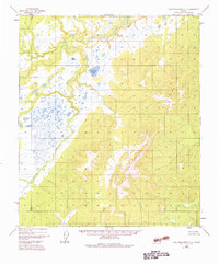
1952 Map of Kantishna River C-5
USGS Topo · Published 1983About this map
The Chitanana River dominates this mid-century Alaskan landscape, winding through a complex network of wetlands and low-relief terrain. Surveyed primarily through photogrammetric methods from 1952 aerial photography, the map reveals a wilderness where water defines the passage of travel and the placement of high points. The eastern portion of the quadrangle rises sharply into the Chitanana Mountains, providing a stark topographic contrast to the swampy flats of the west. Notable landmarks include Redlands Lake and the geodetic control point VABM Cosna 2410, which sits as a prominent summit in the southern range. This survey captures the region in a period of remote transition, where the interior remains largely inaccessible except by the river corridors and seasonal waterways that thread through the Chitanana valley.
Find a feature on this map
4 named features on this map. Tap any name to fly to it.
Don’t see what you’re looking for? This feature index may not catch every label — zoom into the map to look around manually.
Map Details
Editions of this 1952 Kantishna River C-5 Map
4 editions found
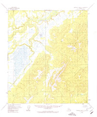
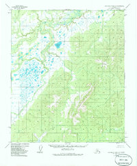
Other maps of this area

1948 · Kantishna River
USGS Topo · 1:250,000

1951 · Kantishna River
USGS Topo · 1:250,000

1952 · Kantishna River C-5
USGS Topo · 1:63,360

1952 · Kantishna River C-6
USGS Topo · 1:63,360

1952 · Kantishna River D-5
USGS Topo · 1:63,360

1952 · Kantishna River
USGS Topo · 1:250,000

1952 · Kantishna River B-6
USGS Topo · 1:63,360

1952 · Kantishna River D-6
USGS Topo · 1:63,360

1952 · Kantishna River B-5
USGS Topo · 1:63,360

1952 · Kantishna River C-4
USGS Topo · 1:63,360