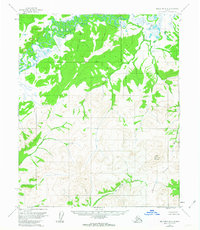
1954 Map of Melozitna B-3
USGS Topo · Published 1963About this map
The Melozitna River meanders through the northern reaches of this Alaskan interior landscape, creating a complex network of oxbows and wetlands near Beaver Lake and Pike Lake. This mid-century survey reflects the wilderness south of the Kateel River Base Line, where the terrain transitions from river lowlands to the elevated peaks of the Kokrines Hills. Significant topographic relief is anchored by Wolf Mountain, a primary landmark in the eastern section of the quadrangle.
Find a feature on this map
11 named features on this map. Tap any name to fly to it.
Don’t see what you’re looking for? This feature index may not catch every label — zoom into the map to look around manually.
Map Details
Editions of this 1954 Melozitna B-3 Map
2 editions found
Other maps of this area

1951 · Melozitna
USGS Topo · 1:250,000

1952 · Melozitna A-2
USGS Topo · 1:63,360

1953 · Melozitna A-4
USGS Topo · 1:63,360

1953 · Melozitna A-2
USGS Topo · 1:63,360

1954 · Melozitna B-3
USGS Topo · 1:63,360
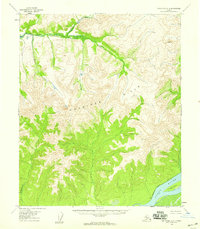
1954 · Melozitna A-3
USGS Topo · 1:63,360

1954 · Melozitna C-4
USGS Topo · 1:63,360
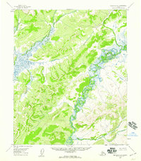
1954 · Melozitna B-4
USGS Topo · 1:63,360

1954 · Melozitna C-3
USGS Topo · 1:63,360

1956 · Melozitna B-2
USGS Topo · 1:63,360