
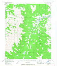
1956 Map of Melozitna B-2
USGS Topo · Published 1958About this map
The Kokrines Hills dominate this interior Alaska landscape, captured during the mid-1950s when the region remained largely untouched by permanent roads or settlements. The survey depicts a complex drainage system where the Little Melozitna River winds through the southern reaches, fed by numerous tributaries including Hudson Creek and Eureka Creek. This period of mapping relied on aerial photography from the early 1950s to document the elevation changes and natural hydrology of the Fourth Judicial Division.
Find a feature on this map
9 named features on this map. Tap any name to fly to it.
Don’t see what you’re looking for? This feature index may not catch every label — zoom into the map to look around manually.
Map Details
Editions of this 1956 Melozitna B-2 Map
2 editions found
Other maps of this area

1951 · Melozitna
USGS Topo · 1:250,000

1952 · Melozitna A-2
USGS Topo · 1:63,360

1952 · Melozitna A-1
USGS Topo · 1:63,360

1953 · Melozitna A-2
USGS Topo · 1:63,360

1954 · Melozitna B-3
USGS Topo · 1:63,360
1954 · Melozitna A-3
USGS Topo · 1:63,360

1954 · Melozitna C-3
USGS Topo · 1:63,360

1956 · Melozitna C-1
USGS Topo · 1:63,360

1956 · Melozitna B-1
USGS Topo · 1:63,360
1956 · Melozitna C-2
USGS Topo · 1:63,360