
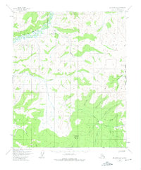
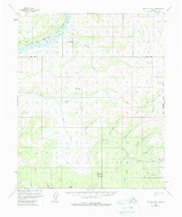
1956 Map of Melozitna B-1
USGS Topo · Published 1959About this map
Little Melozitna Hot Springs sits at the confluence of several interior Alaskan waterways, anchoring a landscape defined by the drainage of the Little Melozitna River. This mid-century survey reveals a region utilized for both its natural geothermal features and its mineral potential, particularly along Golden Creek in the southeast. A single Placer Mine and a nearby Cabin indicate small-scale mining operations, while a Tractor Trail provides the primary overland access through the valley floor. High points such as Switchback Mountain and Mason Mountain overlook a complex network of tributaries including Hot Springs Creek, Moran Creek, and Illinois Creek. The topography captures a moment before significant modern development, where remote survival and resource extraction centered on these isolated water courses and trail systems.
Find a feature on this map
18 named features on this map. Tap any name to fly to it.
Don’t see what you’re looking for? This feature index may not catch every label — zoom into the map to look around manually.
Map Details
Editions of this 1956 Melozitna B-1 Map
3 editions found
Other maps of this area

1951 · Melozitna
USGS Topo · 1:250,000

1951 · Tanana
USGS Topo · 1:250,000

1952 · Melozitna A-2
USGS Topo · 1:63,360

1952 · Tanana A-6
USGS Topo · 1:63,360

1952 · Melozitna A-1
USGS Topo · 1:63,360

1953 · Melozitna A-2
USGS Topo · 1:63,360

1956 · Melozitna B-2
USGS Topo · 1:63,360

1956 · Melozitna C-1
USGS Topo · 1:63,360
1956 · Melozitna C-2
USGS Topo · 1:63,360

1956 · Tanana B-6
USGS Topo · 1:63,360