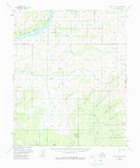
1956 Map of Melozitna B-1
USGS Topo · Published 1978About this map
Little Melozitna Hot Springs stands as a focal point in this 1950s interior Alaskan landscape, situated near the confluence of Hot Springs Creek and the Little Melozitna River. The map reveals a region defined by its drainage systems and early resource extraction, with the Melozitna River winding through the northern reaches. To the south, the terrain rises toward Switchback Mountain and Little Mountain, where the map documents the Linda Trail and a Placer Mine located along Golden Creek. These features suggest a period of active prospecting and localized wilderness travel before modern infrastructure reached this part of the Yukon-Koyukuk region. The dense network of creeks, including Nugget Creek, Miner Creek, and Shale Creek, reflects the typical nomenclature of a mining district where mineral exploration shaped the naming of the landscape along the Kateel River Meridian.
Find a feature on this map
31 named features on this map. Tap any name to fly to it.
Don’t see what you’re looking for? This feature index may not catch every label — zoom into the map to look around manually.
Map Details
Editions of this 1956 Melozitna B-1 Map
3 editions found
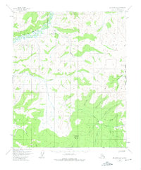
Other maps of this area

1951 · Melozitna
USGS Topo · 1:250,000

1951 · Tanana
USGS Topo · 1:250,000

1952 · Melozitna A-2
USGS Topo · 1:63,360

1952 · Tanana A-6
USGS Topo · 1:63,360

1952 · Melozitna A-1
USGS Topo · 1:63,360

1953 · Melozitna A-2
USGS Topo · 1:63,360

1956 · Melozitna B-2
USGS Topo · 1:63,360

1956 · Melozitna C-1
USGS Topo · 1:63,360

1956 · Melozitna B-1
USGS Topo · 1:63,360
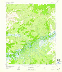
1956 · Melozitna C-2
USGS Topo · 1:63,360