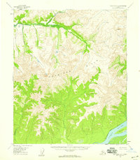
1954 Map of Melozitna A-3
USGS Topo · Published 1959About this map
The Kokrines Hills dominate this mid-century survey of the Alaskan interior, showing a landscape defined by its remote drainages and early communication infrastructure. Along the southern edge, the Yukon River flows past Henry Island, where an Abandoned Telegraph Line traces the riverbank, marking a former lifeline through the wilderness. To the north, the terrain transitions into a complex network of waterways including Hot Springs Creek and the North Fork. This area reflects the mid-century intersection of indigenous subsistence and earlier commercial efforts, evidenced by the Reindeer Camp (Aband) near Reindeer Creek. A lone Cabin near the river indicates the persistent, if sparse, human presence in this region during the 1950s.
Find a feature on this map
10 named features on this map. Tap any name to fly to it.
Don’t see what you’re looking for? This feature index may not catch every label — zoom into the map to look around manually.
Map Details
Editions of this 1954 Melozitna A-3 Map
2 editions found
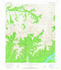
Other maps of this area

1951 · Ruby
USGS Topo · 1:250,000

1951 · Melozitna
USGS Topo · 1:250,000

1952 · Ruby D-4
USGS Topo · 1:63,360

1952 · Melozitna A-2
USGS Topo · 1:63,360

1952 · Ruby D-3
USGS Topo · 1:63,360

1952 · Ruby D-2
USGS Topo · 1:63,360

1952 · Ruby
USGS Topo · 1:250,000

1953 · Melozitna A-4
USGS Topo · 1:63,360
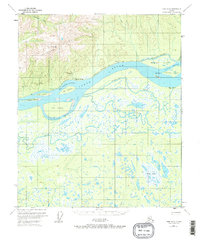
1953 · Ruby D-4
USGS Topo · 1:63,360

1953 · Melozitna A-2
USGS Topo · 1:63,360