
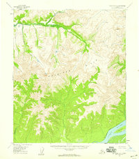
1953 Map of Melozitna A-4
USGS Topo · Published 1959About this map
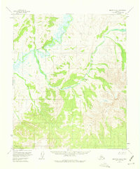
Melozitna River meanders through the northern reaches of this Alaskan interior landscape, captured during a 1953 field annotation. The terrain is dominated by the high elevations of the Kokrines Hills to the south and east, where steep contours define the drainage basins of several glacial and thermal-related waterways. A significant point of historical interest is Melozitna Springs (Aband), located along the banks of Hot Springs Creek. The labeling of this site as abandoned by the mid-1950s suggests a shift in usage or habitation patterns in this remote sector of the Yukon-Koyukuk region. Smaller tributaries like Black Sand Creek and Glacier Creek flow from the surrounding ridges, illustrating the complex hydrologic network that feeds into the larger river system in an era before modern development altered these traditional wilderness corridors.
Find a feature on this map
7 named features on this map. Tap any name to fly to it.
Don’t see what you’re looking for? This feature index may not catch every label — zoom into the map to look around manually.
Map Details
Editions of this 1953 Melozitna A-4 Map
3 editions found
Other maps of this area

1951 · Ruby
USGS Topo · 1:250,000

1951 · Melozitna
USGS Topo · 1:250,000

1952 · Ruby D-4
USGS Topo · 1:63,360

1952 · Ruby D-5
USGS Topo · 1:63,360

1952 · Ruby D-3
USGS Topo · 1:63,360

1952 · Ruby
USGS Topo · 1:250,000
1953 · Ruby D-4
USGS Topo · 1:63,360
1954 · Melozitna A-5
USGS Topo · 1:63,360

1954 · Melozitna B-3
USGS Topo · 1:63,360
1954 · Melozitna A-3
USGS Topo · 1:63,360