
1952 Map of Ruby D-5
USGS Topo · Published 1957About this map
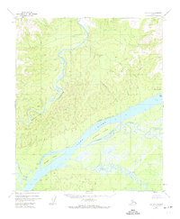
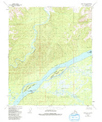
The Yukon River dominates this mid-century survey, carving a massive channel through the interior wilderness where the Melozitna River completes its descent through the narrow Melozitna Canyon. A significant historical remnant of early communication networks, the Abandoned Telegraph Line, runs parallel to the northern bank of the Yukon, passing isolated Cabin and Cabins that hint at the era's seasonal trapping or transport outposts. The hydrology of the valley is particularly complex here, with Ninemile Island and Bootlegger Island separated from the mainland by a network of seasonal channels including Ninemile Slough, Bootlegger Slough, and Straight Slough. To the north, the terrain rises into the Kokrines Hills, while the southern lowlands are a dense maze of wetlands fed by Big Creek and Deer Creek.
Find a feature on this map
19 named features on this map. Tap any name to fly to it.
Don’t see what you’re looking for? This feature index may not catch every label — zoom into the map to look around manually.
Map Details
Editions of this 1952 Ruby D-5 Map
3 editions found
Other maps of this area

1951 · Ruby
USGS Topo · 1:250,000

1951 · Melozitna
USGS Topo · 1:250,000

1952 · Ruby D-6
USGS Topo · 1:63,360

1952 · Ruby D-4
USGS Topo · 1:63,360

1952 · Ruby C-5
USGS Topo · 1:63,360

1952 · Ruby C-4
USGS Topo · 1:63,360

1952 · Ruby C-6
USGS Topo · 1:63,360
1952 · Melozitna A-6
USGS Topo · 1:63,360

1952 · Ruby
USGS Topo · 1:250,000

1953 · Melozitna A-4
USGS Topo · 1:63,360