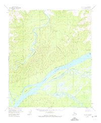
1952 Map of Ruby D-5
USGS Topo · Published 1974About this map
The Yukon River dominates this mid-century landscape, carving a massive channel through the interior. Along its northern banks, the Melozitna River winds through the narrow Melozitna Canyon before reaching the main valley. This region represents a complex network of active and seasonal water channels, including Ninemile Slough, Straight Slough, and Bootlegger Slough, which isolate substantial landmasses like Ninemile Island and Straight Island.
Find a feature on this map
19 named features on this map. Tap any name to fly to it.
Don’t see what you’re looking for? This feature index may not catch every label — zoom into the map to look around manually.
Map Details
Editions of this 1952 Ruby D-5 Map
3 editions found
Other maps of this area

1951 · Ruby
USGS Topo · 1:250,000

1951 · Melozitna
USGS Topo · 1:250,000

1952 · Ruby D-6
USGS Topo · 1:63,360

1952 · Ruby D-4
USGS Topo · 1:63,360

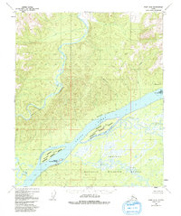
1952 · Ruby D-5
USGS Topo · 1:63,360

1952 · Ruby C-5
USGS Topo · 1:63,360

1952 · Ruby C-4
USGS Topo · 1:63,360

1952 · Ruby C-6
USGS Topo · 1:63,360
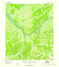
1952 · Melozitna A-6
USGS Topo · 1:63,360

1952 · Ruby
USGS Topo · 1:250,000