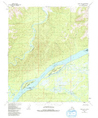
1952 Map of Ruby D-5
USGS Topo · Published 1992About this map
The Yukon River and the Melozitna River converge in this interior landscape, where the latter carves through the steep walls of the Melozitna Canyon. This 1952 topographic study, later updated with minor revisions, records a wilderness defined by its water routes and the early infrastructure of the north. An Abandoned Telegraph Line stretches across the terrain, serving as a relic of previous communication networks that once connected remote Alaskan outposts.
Find a feature on this map
21 named features on this map. Tap any name to fly to it.
Don’t see what you’re looking for? This feature index may not catch every label — zoom into the map to look around manually.
Map Details
Editions of this 1952 Ruby D-5 Map
3 editions found
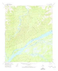
Other maps of this area

1951 · Ruby
USGS Topo · 1:250,000

1951 · Melozitna
USGS Topo · 1:250,000

1952 · Ruby D-6
USGS Topo · 1:63,360

1952 · Ruby D-4
USGS Topo · 1:63,360

1952 · Ruby D-5
USGS Topo · 1:63,360

1952 · Ruby C-5
USGS Topo · 1:63,360

1952 · Ruby C-4
USGS Topo · 1:63,360

1952 · Ruby C-6
USGS Topo · 1:63,360
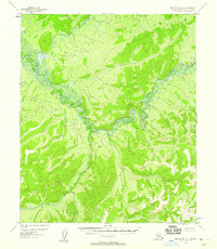
1952 · Melozitna A-6
USGS Topo · 1:63,360

1952 · Ruby
USGS Topo · 1:250,000