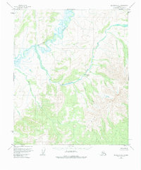
1953 Map of Melozitna A-4
USGS Topo · Published 1984About this map
The Melozitna River meanders through this interior Alaska wilderness, forming a complex network of oxbows and wetlands in the northern reaches. At the center of the survey lies the site of Melozi Springs (Aband), situated along the banks of Hot Springs Creek. This remote location, noted as abandoned by the mid-20th century, highlights the transitory nature of early settlements in the Alaskan bush. The landscape is dominated by the elevations of the Kokrines Hills in the southeast, where numerous drainages like Black Sand Creek and Turnaround Cr originate. These topographic features illustrate the intricate hydrologic patterns of the subarctic, where even minor creeks define the travel routes and land use of the era.
Find a feature on this map
6 named features on this map. Tap any name to fly to it.
Don’t see what you’re looking for? This feature index may not catch every label — zoom into the map to look around manually.
Map Details
Editions of this 1953 Melozitna A-4 Map
3 editions found
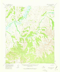
Other maps of this area

1951 · Ruby
USGS Topo · 1:250,000

1951 · Melozitna
USGS Topo · 1:250,000

1952 · Ruby D-4
USGS Topo · 1:63,360

1952 · Ruby D-5
USGS Topo · 1:63,360

1952 · Ruby D-3
USGS Topo · 1:63,360

1952 · Ruby
USGS Topo · 1:250,000

1953 · Melozitna A-4
USGS Topo · 1:63,360
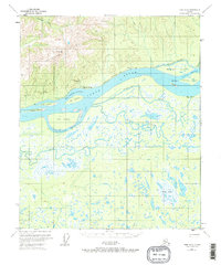
1953 · Ruby D-4
USGS Topo · 1:63,360
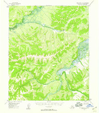
1954 · Melozitna A-5
USGS Topo · 1:63,360

1954 · Melozitna B-3
USGS Topo · 1:63,360