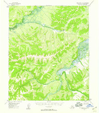
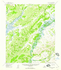
1954 Map of Melozitna A-5
USGS Topo · Published 1958About this map
The Melozitna River winds through this interior Alaskan wilderness, defined by its complex oxbows and marshy lowlands as they appeared in the early 1950s. The northern portion of the map is dominated by the Dulbi River, where the landscape transitions into a dense network of small ponds and wetlands. A single Cabin stands as the only marked man-made structure in this expansive territory, suggesting the seasonal presence of trappers or hunters in the Fourth Judicial Division. Several significant tributaries feed into the larger river systems, including the uniquely named Turnaround Creek, Black Sand Creek, and Fox Creek. This survey represents the mid-century topography of the Yukon-Koyukuk region before more modern infrastructure ever reached these remote river corridors.
Find a feature on this map
6 named features on this map. Tap any name to fly to it.
Don’t see what you’re looking for? This feature index may not catch every label — zoom into the map to look around manually.
Map Details
Editions of this 1954 Melozitna A-5 Map
2 editions found
Other maps of this area

1951 · Ruby
USGS Topo · 1:250,000

1951 · Melozitna
USGS Topo · 1:250,000

1952 · Ruby D-6
USGS Topo · 1:63,360

1952 · Ruby D-4
USGS Topo · 1:63,360

1952 · Ruby D-5
USGS Topo · 1:63,360
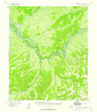
1952 · Melozitna A-6
USGS Topo · 1:63,360

1952 · Ruby
USGS Topo · 1:250,000

1953 · Melozitna A-4
USGS Topo · 1:63,360
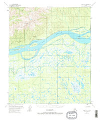
1953 · Ruby D-4
USGS Topo · 1:63,360
1954 · Melozitna B-4
USGS Topo · 1:63,360