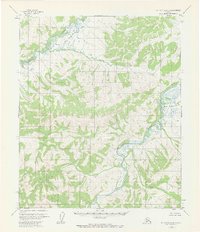
1954 Map of Melozitna A-5
USGS Topo · Published 1972About this map
The Melozitna River winds through the southeastern portion of this interior Alaska wilderness, joined by several tributaries including Turnaround Creek and Black Sand Creek. In the northwestern quadrant, the Dulbi River creates a distinctive marshy basin, where the water fragments into numerous small channels and wetlands before flowing beyond the map's boundary. A solitary Cabin situated north of the central hills represents the only named man-made structure in this 1950s survey, marking a rare point of human presence in a landscape otherwise defined by elevation and drainage patterns. The map captures a moment when land lines were predetermined by the Bureau of Land Management but remained largely unsurveyed and unmarked on the ground, reflecting the vastness of the Yukon-Koyukuk region during the mid-century period.
Find a feature on this map
6 named features on this map. Tap any name to fly to it.
Don’t see what you’re looking for? This feature index may not catch every label — zoom into the map to look around manually.
Map Details
Editions of this 1954 Melozitna A-5 Map
2 editions found
Other maps of this area

1951 · Ruby
USGS Topo · 1:250,000

1951 · Melozitna
USGS Topo · 1:250,000

1952 · Ruby D-6
USGS Topo · 1:63,360

1952 · Ruby D-4
USGS Topo · 1:63,360

1952 · Ruby D-5
USGS Topo · 1:63,360
1952 · Melozitna A-6
USGS Topo · 1:63,360

1952 · Ruby
USGS Topo · 1:250,000

1953 · Melozitna A-4
USGS Topo · 1:63,360
1953 · Ruby D-4
USGS Topo · 1:63,360
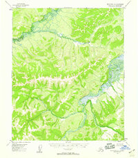
1954 · Melozitna A-5
USGS Topo · 1:63,360