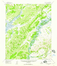
1954 Map of Melozitna B-4
USGS Topo · Published 1959About this map
The Melozitna River snakes through the center of this Interior Alaska landscape, characterized by a complex network of oxbow lakes and wetlands. Surveyed in the mid-1950s using aerial photography, the map reveals an untouched wilderness where drainage patterns dictate the terrain. The Dutbi River enters from the northwest, contributing to a broad, saturated basin before joining the primary waterway. In the southern portion of the quadrangle, Big Creek cuts through the more elevated, contour-rich topography. This 1954 field-annotated record serves as a precise baseline for the hydraulic geography of the Yukon-Koyukuk region, capturing the natural state of these river systems before modern environmental shifts.
Find a feature on this map
3 named features on this map. Tap any name to fly to it.
Don’t see what you’re looking for? This feature index may not catch every label — zoom into the map to look around manually.
Map Details
Editions of this 1954 Melozitna B-4 Map
3 editions found
Other maps of this area

1951 · Melozitna
USGS Topo · 1:250,000

1953 · Melozitna A-4
USGS Topo · 1:63,360
1954 · Melozitna A-5
USGS Topo · 1:63,360

1954 · Melozitna B-3
USGS Topo · 1:63,360
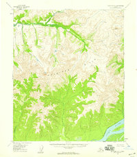
1954 · Melozitna A-3
USGS Topo · 1:63,360

1954 · Melozitna C-4
USGS Topo · 1:63,360

1954 · Melozitna C-5
USGS Topo · 1:63,360
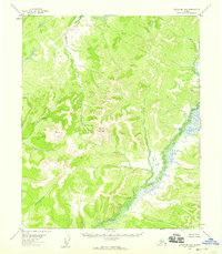
1954 · Melozitna B-5
USGS Topo · 1:63,360

1954 · Melozitna C-3
USGS Topo · 1:63,360

1956 · Melozitna
USGS Topo · 1:250,000