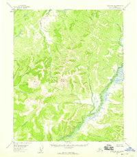
1954 Map of Melozitna B-5
USGS Topo · Published 1959About this map
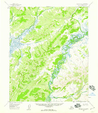
Dulbatna Mountain rises as a central landmark in this mid-century topographic survey of the Alaskan interior, anchoring a landscape defined by its intricate drainage systems. The northern reaches are dominated by the winding course of the Nayuka River, while the southeastern portion is marked by the broad, braided channels of the Dulbi River. These waterways reveal a complex network of seasonal tributaries and marshy lowlands typical of the region's geography.
Find a feature on this map
5 named features on this map. Tap any name to fly to it.
Don’t see what you’re looking for? This feature index may not catch every label — zoom into the map to look around manually.
Map Details
Editions of this 1954 Melozitna B-5 Map
2 editions found
Other maps of this area

1951 · Melozitna
USGS Topo · 1:250,000
1952 · Melozitna A-6
USGS Topo · 1:63,360

1953 · Melozitna A-4
USGS Topo · 1:63,360
1954 · Melozitna A-5
USGS Topo · 1:63,360

1954 · Melozitna C-4
USGS Topo · 1:63,360
1954 · Melozitna B-4
USGS Topo · 1:63,360

1954 · Melozitna C-5
USGS Topo · 1:63,360

1954 · Melozitna C-6
USGS Topo · 1:63,360
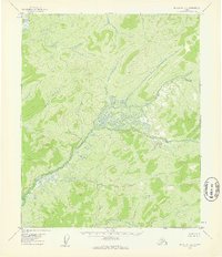
1954 · Melozitna B-6
USGS Topo · 1:63,360

1956 · Melozitna
USGS Topo · 1:250,000