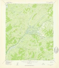
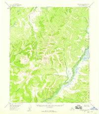
1954 Map of Melozitna B-6
USGS Topo · Published 1959About this map
Cottonwood Creek and Telukhti Creek drain a landscape of unnamed hills and interior wetlands in this mid-century survey of the Alaska interior. The map reveals a region defined by its hydrography rather than human settlement, where the only named high point is VABM Knob. In the far northwest corner, the Dulbi Slough indicates the presence of a larger river system just beyond the map's boundary. The lack of roads or trails recorded during the 1954 field annotation underscores the isolation of this terrain, which remains oriented around its natural drainage patterns and the elevation markers established by early aerial photogrammetry.
Find a feature on this map
4 named features on this map. Tap any name to fly to it.
Don’t see what you’re looking for? This feature index may not catch every label — zoom into the map to look around manually.
Map Details
Editions of this 1954 Melozitna B-6 Map
2 editions found
Other maps of this area

1951 · Kateel River
USGS Topo · 1:250,000

1951 · Melozitna
USGS Topo · 1:250,000

1952 · Kateel River A-1
USGS Topo · 1:63,360

1952 · Kateel River B-1
USGS Topo · 1:63,360
1952 · Melozitna A-6
USGS Topo · 1:63,360
1954 · Melozitna A-5
USGS Topo · 1:63,360

1954 · Melozitna C-5
USGS Topo · 1:63,360

1954 · Melozitna C-6
USGS Topo · 1:63,360
1954 · Melozitna B-5
USGS Topo · 1:63,360

1954 · Kateel River C-1
USGS Topo · 1:63,360