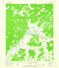
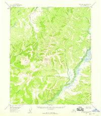
1954 Map of Melozitna B-6
USGS Topo · Published 1967About this map
Dulbi Slough and a vast network of unnamed wetlands define this subarctic landscape in the Yukon-Koyukuk region. Surveyed via aerial photography in the early 1950s, the map highlights the intricate drainage patterns of Cottonwood Creek and Telukhti Creek as they meander through a mix of marshy lowlands and rising terrain. A key geodetic marker, VABM Knob 1387, serves as a prominent elevation point in the southwestern quadrant, while the Kateel River Base Line provides the primary surveying datum for this remote interior wilderness. The lack of named settlements or roads underscores the region's character as a roadless frontier where waterways and elevation benchmarks were the only reliable landmarks for navigation and land management.
Find a feature on this map
5 named features on this map. Tap any name to fly to it.
Don’t see what you’re looking for? This feature index may not catch every label — zoom into the map to look around manually.
Map Details
Editions of this 1954 Melozitna B-6 Map
2 editions found
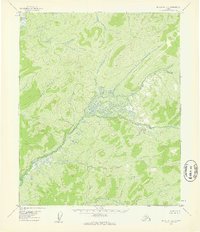
Other maps of this area

1951 · Kateel River
USGS Topo · 1:250,000

1951 · Melozitna
USGS Topo · 1:250,000

1952 · Kateel River A-1
USGS Topo · 1:63,360

1952 · Kateel River B-1
USGS Topo · 1:63,360
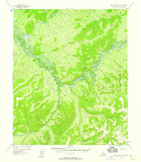
1952 · Melozitna A-6
USGS Topo · 1:63,360
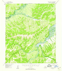
1954 · Melozitna A-5
USGS Topo · 1:63,360

1954 · Melozitna C-5
USGS Topo · 1:63,360

1954 · Melozitna C-6
USGS Topo · 1:63,360
1954 · Melozitna B-5
USGS Topo · 1:63,360

1954 · Kateel River C-1
USGS Topo · 1:63,360