
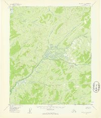
1954 Map of Melozitna C-5
USGS Topo · Published 1959About this map
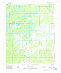
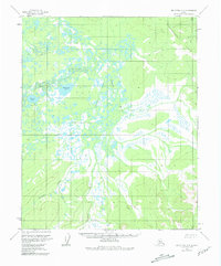
Nayuka River carves a winding path through this Interior Alaska wilderness, where the drainage basin creates a complex network of wetlands and tundra lakes. To the west, the landscape is defined by substantial water bodies including Besziviit Lake and Klymungel Lake. The terrain transitions sharply in the northeast into the elevated Takhakhdona Hills, providing a distinct contrast to the lower riparian areas. This 1954 field-annotated survey captures the hydrologic patterns of the region before any modern development, focusing on natural landmarks like Telukhti Creek. The lack of roads or trails noted in the map classification highlights the isolation of this Yukon-Koyukuk territory during the mid-century period, making it an essential reference for understanding the undisturbed natural geography of the Melozitna drainage.
Find a feature on this map
5 named features on this map. Tap any name to fly to it.
Don’t see what you’re looking for? This feature index may not catch every label — zoom into the map to look around manually.
Map Details
Editions of this 1954 Melozitna C-5 Map
3 editions found
Other maps of this area

1951 · Melozitna
USGS Topo · 1:250,000

1954 · Melozitna C-4
USGS Topo · 1:63,360
1954 · Melozitna B-4
USGS Topo · 1:63,360

1954 · Melozitna C-6
USGS Topo · 1:63,360

1954 · Melozitna D-5
USGS Topo · 1:63,360
1954 · Melozitna B-5
USGS Topo · 1:63,360

1954 · Melozitna D-4
USGS Topo · 1:63,360

1954 · Melozitna D-6
USGS Topo · 1:63,360
1954 · Melozitna B-6
USGS Topo · 1:63,360

1956 · Melozitna
USGS Topo · 1:250,000