
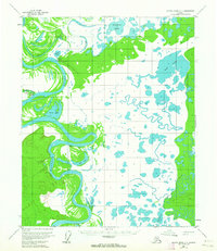
1954 Map of Kateel River C-1
USGS Topo · Published 1959About this map
Huslia stands on the banks of a dramatic meander in the Koyukuk River, serving as a central point of settlement in this interior Alaskan landscape during the mid-1950s. The map illustrates a complex hydrologic network where the river's shifting course has created intricate features like Richards Slough and Dulbi Slough. This region is defined by its reliance on seasonal transport and small outposts, evidenced by the presence of a Winter Trail and a Landing Strip near the primary village. Further exploration of the riverbanks reveals smaller, isolated sites of human activity including Richards Camp, Simons Cabin, and unidentified Ruins. The eastern portion of the quadrangle is dominated by vast wetlands and numerous water bodies such as the expansive Boat Lake and Fivemile Lake, highlighting the seasonal challenges of navigating this interior wilderness before modern infrastructure expanded.
Find a feature on this map
15 named features on this map. Tap any name to fly to it.
Don’t see what you’re looking for? This feature index may not catch every label — zoom into the map to look around manually.
Map Details
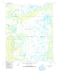
Editions of this 1954 Kateel River C-1 Map
3 editions found
Other maps of this area

1951 · Kateel River
USGS Topo · 1:250,000

1951 · Melozitna
USGS Topo · 1:250,000

1952 · Kateel River B-1
USGS Topo · 1:63,360

1952 · Kateel River B-2
USGS Topo · 1:63,360

1954 · Kateel River C-2
USGS Topo · 1:63,360

1954 · Melozitna C-6
USGS Topo · 1:63,360

1954 · Kateel River D-1
USGS Topo · 1:63,360

1954 · Melozitna D-6
USGS Topo · 1:63,360
1954 · Melozitna B-6
USGS Topo · 1:63,360

1955 · Kateel River D-2
USGS Topo · 1:63,360