
1952 Map of Kateel River B-2
USGS Topo · Published 1958About this map
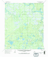
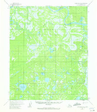
The Koyukuk River winds through this subarctic interior landscape, joined by the Dulbi River and Holtnakatna Creek in a complex network of meanders and oxbows. In the 1950s, this region was defined by its seasonal access, illustrated by the presence of a Winter Trail passing near Duck Lake. While the terrain is dominated by wetland and muskeg, small signs of human activity appear in the form of a solitary Cabin situated along a bend in the main river channel. Numerous unnamed ponds and lakes dot the southern half of the quadrangle, with Coffee Can Lake and Birch Lake serving as notable landmarks in an otherwise sparsely labeled wilderness. The mapping reveals the intricate drainage patterns of the Fourth Judicial Division before modern development altered the remote backcountry.
Find a feature on this map
8 named features on this map. Tap any name to fly to it.
Don’t see what you’re looking for? This feature index may not catch every label — zoom into the map to look around manually.
Map Details
Editions of this 1952 Kateel River B-2 Map
3 editions found
Other maps of this area

1951 · Kateel River
USGS Topo · 1:250,000

1952 · Kateel River A-2
USGS Topo · 1:63,360

1952 · Kateel River A-1
USGS Topo · 1:63,360

1952 · Kateel River A-3
USGS Topo · 1:63,360

1952 · Kateel River B-1
USGS Topo · 1:63,360

1952 · Kateel River B-3
USGS Topo · 1:63,360

1954 · Kateel River C-2
USGS Topo · 1:63,360

1954 · Kateel River C-1
USGS Topo · 1:63,360

1954 · Kateel River C-3
USGS Topo · 1:63,360

1955 · Kateel River
USGS Topo · 1:250,000