
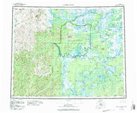
1955 Map of Kateel River
USGS Topo · Published 1959About this map
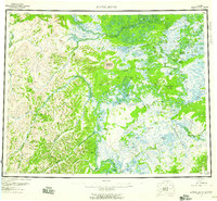
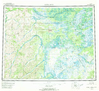
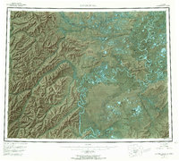
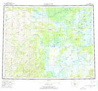
The Koyukuk River dominates the eastern half of this interior landscape, winding through a complex network of sloughs and oxbow lakes where the village of Huslia is established. The river's historical role in commerce is evident at the Old Cutoff Trading Post, while local subsistence patterns are reflected in sites like Fishing Camp, Richards Camp, and Vincents Camp. To the west, the terrain rises into the highlands drained by the Kateel River and Gisasa River, interrupted by the distinctive Nogahabara Sand Dunes. A Winter Trail cuts across the wetlands toward Roundabout Mountain, connecting remote outposts such as Tobys Cabin and the Over The Hill Portage. This mid-century survey captures a transition in northern transportation, documenting a landscape where seasonal trails and river landings remained the primary arteries for movement between isolated camps and the growing settlement at Huslia.
Find a feature on this map
99 named features on this map. Tap any name to fly to it.
Don’t see what you’re looking for? This feature index may not catch every label — zoom into the map to look around manually.
Map Details
Editions of this 1955 Kateel River Map
6 editions found
Other maps of this area

1945 · Nulato
USGS Topo · 1:250,000

1948 · Norton Bay
USGS Topo · 1:250,000

1951 · Candle
USGS Topo · 1:250,000

1951 · Selawik
USGS Topo · 1:250,000

1951 · Shungnak
USGS Topo · 1:250,000

1951 · Nulato
USGS Topo · 1:250,000

1951 · Ruby
USGS Topo · 1:250,000

1951 · Norton Bay
USGS Topo · 1:250,000

1951 · Kateel River
USGS Topo · 1:250,000

1951 · Hughes
USGS Topo · 1:250,000