
1952 Map of Kateel River A-3
USGS Topo · Published 1957About this map
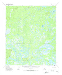
The Koyukuk River winds through a complex wetland landscape in the interior of Alaska during the early 1950s. This survey, based on 1952 aerial photography, documents a region defined by shifting waterways and seasonal drainage patterns. Small outposts of human activity are represented by a lone Cabin along the main riverbank and a cluster of Cabins further inland, suggesting seasonal trapping or subsistence sites common in the Fourth Judicial Division.
Find a feature on this map
8 named features on this map. Tap any name to fly to it.
Don’t see what you’re looking for? This feature index may not catch every label — zoom into the map to look around manually.
Map Details
Editions of this 1952 Kateel River A-3 Map
4 editions found
Other maps of this area

1945 · Nulato
USGS Topo · 1:250,000

1951 · Nulato
USGS Topo · 1:250,000

1951 · Kateel River
USGS Topo · 1:250,000

1952 · Kateel River A-2
USGS Topo · 1:63,360

1952 · Nulato D-3
USGS Topo · 1:63,360

1952 · Kateel River A-4
USGS Topo · 1:63,360

1952 · Nulato D-4
USGS Topo · 1:63,360

1952 · Nulato D-2
USGS Topo · 1:63,360

1952 · Kateel River B-3
USGS Topo · 1:63,360

1952 · Nulato
USGS Topo · 1:250,000