
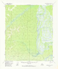
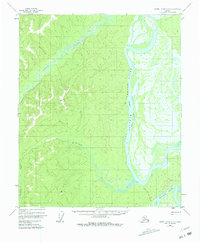
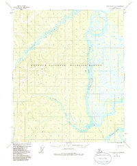
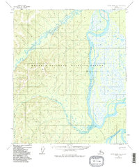
1952 Map of Kateel River A-4
USGS Topo · Published 1957About this map
The Koyukuk River dominates this interior Alaskan landscape, characterized by the winding Long Stretch that flows past Chips Island and Chips Slough. Small pockets of human presence appear along the water, notably at Chips Cabin and another isolated Cabin further downstream. The terrain is marked by significant survey points including VABM Grass 1878 and VABM Rick 1134, which serve as early triangulation markers in this vast drainage basin. A specific overland route, the Over the Hill Portage, indicates the historical necessity of bypass trails for river travelers. Moving away from the main channel, the landscape transitions into the smaller drainages of Woodyard Creek, illustrating the natural geography of the region before significant modernization reached this portion of the Fourth Judicial Division.
Find a feature on this map
9 named features on this map. Tap any name to fly to it.
Don’t see what you’re looking for? This feature index may not catch every label — zoom into the map to look around manually.
Map Details
Editions of this 1952 Kateel River A-4 Map
5 editions found
Other maps of this area

1945 · Nulato
USGS Topo · 1:250,000

1951 · Nulato
USGS Topo · 1:250,000

1951 · Kateel River
USGS Topo · 1:250,000

1952 · Nulato D-3
USGS Topo · 1:63,360

1952 · Nulato D-5
USGS Topo · 1:63,360

1952 · Nulato D-4
USGS Topo · 1:63,360

1952 · Kateel River A-3
USGS Topo · 1:63,360

1952 · Kateel River B-3
USGS Topo · 1:63,360

1952 · Nulato
USGS Topo · 1:250,000

1952 · Kateel River B-4
USGS Topo · 1:63,360