
1952 Map of Kateel River B-4
USGS Topo · Published 1958About this map
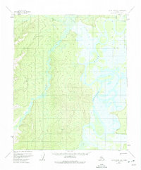
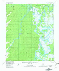
The Koyukuk River dominates this interior Alaskan landscape, winding through a complex system of oxbows and wetlands within the Yukon-Koyukuk region. In the early 1950s, the area remained largely roadless, with human presence defined by isolated structures such as Tobys Cabin and other unnamed Cabins positioned along the riverbank. These outposts suggest a seasonal reliance on the waterway for transportation and subsistence in a period before widespread aerial access changed the character of the bush.
Find a feature on this map
6 named features on this map. Tap any name to fly to it.
Don’t see what you’re looking for? This feature index may not catch every label — zoom into the map to look around manually.
Map Details
Editions of this 1952 Kateel River B-4 Map
3 editions found
Other maps of this area

1951 · Kateel River
USGS Topo · 1:250,000

1952 · Kateel River A-4
USGS Topo · 1:63,360

1952 · Kateel River A-3
USGS Topo · 1:63,360

1952 · Kateel River B-3
USGS Topo · 1:63,360
1952 · Kateel River A-5
USGS Topo · 1:63,360

1954 · Kateel River C-4
USGS Topo · 1:63,360

1954 · Kateel River C-3
USGS Topo · 1:63,360

1954 · Kateel River B-5
USGS Topo · 1:63,360
1954 · Kateel River A-5
USGS Topo · 1:63,360

1955 · Kateel River B-5
USGS Topo · 1:63,360