
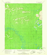
1954 Map of Kateel River C-4
USGS Topo · Published 1958About this map
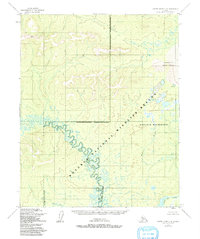
Nogahabara Sand Dunes dominate the northeastern corner of this interior Alaskan landscape, a striking geological contrast to the surrounding marshlands and river valleys. The Kateel River winds in tight, complex oxbows across the central terrain, its meanders creating a dense network of sloughs and seasonal water bodies. This 1950s survey documents a wilderness environment largely defined by its hydrological patterns, including the Hodatic River and the southern Three Day Slough. Human presence is minimal and localized, represented only by isolated markers such as Pitka in the south and a solitary Cabin along the mid-river flats. Geomorphological features like the Pingo illustrate the permafrost-influenced terrain of the Yukon-Koyukuk region during the mid-twentieth century.
Find a feature on this map
7 named features on this map. Tap any name to fly to it.
Don’t see what you’re looking for? This feature index may not catch every label — zoom into the map to look around manually.
Map Details
Editions of this 1954 Kateel River C-4 Map
3 editions found
Other maps of this area

1951 · Kateel River
USGS Topo · 1:250,000

1952 · Kateel River B-3
USGS Topo · 1:63,360

1952 · Kateel River B-4
USGS Topo · 1:63,360

1954 · Kateel River C-3
USGS Topo · 1:63,360

1954 · Kateel River D-3
USGS Topo · 1:63,360

1954 · Kateel River D-4
USGS Topo · 1:63,360

1954 · Kateel River B-5
USGS Topo · 1:63,360

1954 · Kateel River D-5
USGS Topo · 1:63,360

1955 · Kateel River B-5
USGS Topo · 1:63,360
1955 · Kateel River C-5
USGS Topo · 1:63,360