
1954 Map of Kateel River B-5
USGS Topo · Published 1963About this map
Kateel River winds through the northwestern corner of this territory, defining a landscape dominated by the intricate drainages of the Pitka River and Honhosa River. This 1954 survey captures the region during a period of systematic aerial mapping by the Geological Survey, using photogrammetric methods to chart the interior of Alaska. The topographic layout is structured around the Kateel River Base Line, which serves as the primary longitudinal reference for the land lines predetermined by the Bureau of Land Management. Without established roads or permanent settlements at the time of the survey, the map documents a purely wilderness hydrology, where countless unnamed ridges and valleys separate the major river systems. It provides a foundational record of the Kateel River Meridian before modern infrastructure reached this part of the Yukon-Koyukuk region.
Find a feature on this map
4 named features on this map. Tap any name to fly to it.
Don’t see what you’re looking for? This feature index may not catch every label — zoom into the map to look around manually.
Map Details
Editions of this 1954 Kateel River B-5 Map
This is the sole edition of this map. No revisions or reprints were ever made.
Other maps of this area

1951 · Kateel River
USGS Topo · 1:250,000

1952 · Kateel River A-4
USGS Topo · 1:63,360

1952 · Kateel River B-4
USGS Topo · 1:63,360
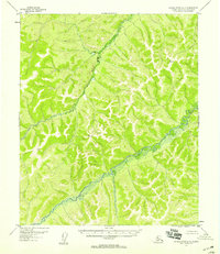
1952 · Kateel River A-5
USGS Topo · 1:63,360

1954 · Kateel River C-4
USGS Topo · 1:63,360

1954 · Kateel River C-6
USGS Topo · 1:63,360
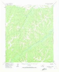
1954 · Kateel River A-5
USGS Topo · 1:63,360

1955 · Kateel River B-5
USGS Topo · 1:63,360
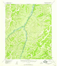
1955 · Kateel River A-6
USGS Topo · 1:63,360
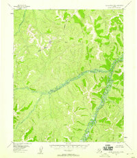
1955 · Kateel River B-6
USGS Topo · 1:63,360