
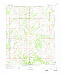
1954 Map of Kateel River C-6
USGS Topo · Published 1966About this map
The Continental Divide winds across this interior Alaskan landscape, serving as a primary topographic anchor in an area defined by its river systems and unsurveyed land lines. Established from 1950s aerial photography, this map highlights the drainage patterns of the Tagagawik River on the western edge and the meandering South Fork Hustlia River to the southeast. The Kateel River Principal Meridian bisects the terrain, providing a formal reference point for the Bureau of Land Management's predetermined, yet unmarked, locations. Notable for its lack of roads or established trails, the area is instead structured by waterways like Derby Creek, illustrating a wilderness before any modern infrastructure touched these remote interior reaches.
Find a feature on this map
5 named features on this map. Tap any name to fly to it.
Don’t see what you’re looking for? This feature index may not catch every label — zoom into the map to look around manually.
Map Details
Editions of this 1954 Kateel River C-6 Map
2 editions found
Other maps of this area

1951 · Candle
USGS Topo · 1:250,000

1951 · Kateel River
USGS Topo · 1:250,000

1954 · Kateel River B-5
USGS Topo · 1:63,360
1954 · Candle D-1
USGS Topo · 1:63,360

1954 · Candle C-1
USGS Topo · 1:63,360

1954 · Kateel River D-6
USGS Topo · 1:63,360

1954 · Candle B-1
USGS Topo · 1:63,360

1954 · Kateel River D-5
USGS Topo · 1:63,360

1955 · Kateel River B-5
USGS Topo · 1:63,360
1955 · Kateel River B-6
USGS Topo · 1:63,360