
1955 Map of Kateel River B-5
USGS Topo · Published 1958About this map
The Pitka River and Honhosa River define this interior Alaskan landscape, which remained an unpopulated wilderness at the time of this 1950s survey. Topographical data from the U.S. Geological Survey shows a complex system of drainage and elevation, including several vertical angle bench marks (VABM) that served as primary triangulation points for early mapping. These specific landmarks, such as VABM Katgis 2041 and VABM Scotty 1940, indicate a terrain of high ridges and low-lying river valleys. As of this publication, no roads or trails existed in this area, representing a moment in Alaskan history before modern infrastructure or resource development reached this section of the Yukon-Koyukuk region.
Find a feature on this map
6 named features on this map. Tap any name to fly to it.
Don’t see what you’re looking for? This feature index may not catch every label — zoom into the map to look around manually.
Map Details
Editions of this 1955 Kateel River B-5 Map
This is the sole edition of this map. No revisions or reprints were ever made.
Other maps of this area

1951 · Kateel River
USGS Topo · 1:250,000

1952 · Kateel River A-4
USGS Topo · 1:63,360

1952 · Kateel River B-4
USGS Topo · 1:63,360
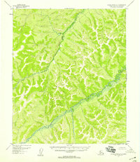
1952 · Kateel River A-5
USGS Topo · 1:63,360

1954 · Kateel River C-4
USGS Topo · 1:63,360

1954 · Kateel River B-5
USGS Topo · 1:63,360

1954 · Kateel River C-6
USGS Topo · 1:63,360
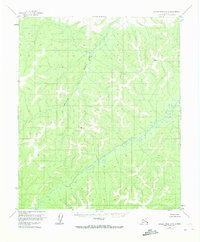
1954 · Kateel River A-5
USGS Topo · 1:63,360
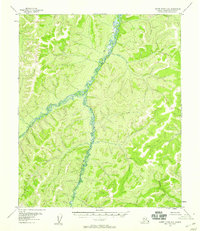
1955 · Kateel River A-6
USGS Topo · 1:63,360
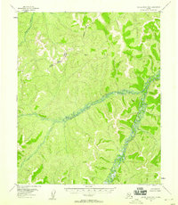
1955 · Kateel River B-6
USGS Topo · 1:63,360