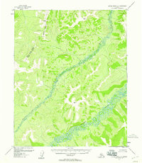
1955 Map of Kateel River C-5
USGS Topo · Published 1958About this map
The Kateel River and Huslia River wind through this interior Alaskan wilderness, as mapped in the mid-1950s using photogrammetric methods. The landscape is defined by the sinuous, swampy riverbeds that dominate the lowlands, contrasting with the high ridges of the surrounding terrain. Surveyors established critical triangulation points at peaks like Vabm 1899 Tag and Vabm 1936 Moon to chart this remote territory. A significant administrative boundary, the Second Judicial Division Fourth Judicial Division, crosses the northwest portion of the sheet, marked by an Approximate Boundary. This survey captures the drainage patterns and untouched topography of the Yukon-Koyukuk region before any roads or permanent trails were established, providing a foundational record of the natural hydrology and early geodetic control points in the Alaskan interior.
Find a feature on this map
7 named features on this map. Tap any name to fly to it.
Don’t see what you’re looking for? This feature index may not catch every label — zoom into the map to look around manually.
Map Details
Editions of this 1955 Kateel River C-5 Map
3 editions found
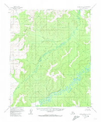
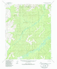
Other maps of this area

1951 · Kateel River
USGS Topo · 1:250,000

1952 · Kateel River B-4
USGS Topo · 1:63,360

1954 · Kateel River C-4
USGS Topo · 1:63,360

1954 · Kateel River D-4
USGS Topo · 1:63,360

1954 · Kateel River B-5
USGS Topo · 1:63,360

1954 · Kateel River D-6
USGS Topo · 1:63,360

1954 · Kateel River D-5
USGS Topo · 1:63,360

1954 · Kateel River C-6
USGS Topo · 1:63,360

1955 · Kateel River B-5
USGS Topo · 1:63,360
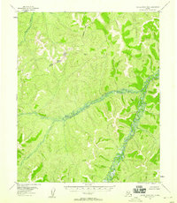
1955 · Kateel River B-6
USGS Topo · 1:63,360