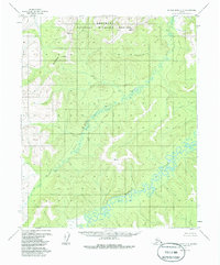
1955 Map of Kateel River C-5
USGS Topo · Published 1984About this map
Koyukuk National Wildlife Refuge dominates the northern reaches of this Alaskan interior landscape, a region defined by its complex hydrologic patterns and the imposing Continental Divide. The survey details the winding course of the Kateel River as it meanders through the lowlands, joined by the South Fork Huslia River. This 1950s documentation of the Yukon-Koyukuk region highlights a wilderness prior to modern environmental classifications, though updated to reflect federal reservation boundaries established in 1980. The intricate contouring illustrates the transition from the river basin to the high ridge lines that separate major drainage systems in the Alaskan interior.
Find a feature on this map
4 named features on this map. Tap any name to fly to it.
Don’t see what you’re looking for? This feature index may not catch every label — zoom into the map to look around manually.
Map Details
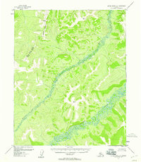
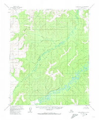
Editions of this 1955 Kateel River C-5 Map
3 editions found
Other maps of this area

1951 · Kateel River
USGS Topo · 1:250,000

1952 · Kateel River B-4
USGS Topo · 1:63,360

1954 · Kateel River C-4
USGS Topo · 1:63,360

1954 · Kateel River D-4
USGS Topo · 1:63,360

1954 · Kateel River B-5
USGS Topo · 1:63,360

1954 · Kateel River D-6
USGS Topo · 1:63,360

1954 · Kateel River D-5
USGS Topo · 1:63,360

1954 · Kateel River C-6
USGS Topo · 1:63,360

1955 · Kateel River B-5
USGS Topo · 1:63,360
1955 · Kateel River B-6
USGS Topo · 1:63,360