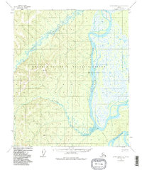
1952 Map of Kateel River A-4
USGS Topo · Published 1986About this map
The Koyukuk National Wildlife Refuge dominates this sub-arctic landscape, where the meandering Koyukuk River and its intricate network of sloughs define the terrain. At the heart of the waterway sits Chips Island, flanked by the main river channel and the winding Chips Slough. A single human outpost, Chips Cabin, is marked along the riverbank, indicating the isolation of this interior region during the mid-20th century.
Find a feature on this map
10 named features on this map. Tap any name to fly to it.
Don’t see what you’re looking for? This feature index may not catch every label — zoom into the map to look around manually.
Map Details
Editions of this 1952 Kateel River A-4 Map
5 editions found
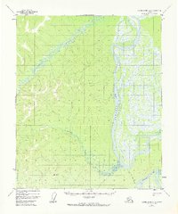
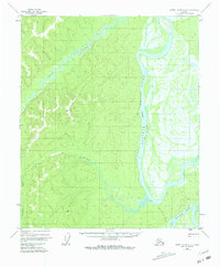
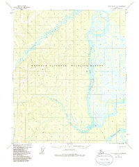
Other maps of this area

1945 · Nulato
USGS Topo · 1:250,000

1951 · Nulato
USGS Topo · 1:250,000

1951 · Kateel River
USGS Topo · 1:250,000

1952 · Nulato D-3
USGS Topo · 1:63,360

1952 · Nulato D-5
USGS Topo · 1:63,360

1952 · Kateel River A-4
USGS Topo · 1:63,360

1952 · Nulato D-4
USGS Topo · 1:63,360

1952 · Kateel River A-3
USGS Topo · 1:63,360

1952 · Kateel River B-3
USGS Topo · 1:63,360

1952 · Nulato
USGS Topo · 1:250,000