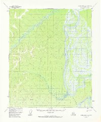
1952 Map of Kateel River A-4
USGS Topo · Published 1973About this map
The Koyukuk River dominates this interior Alaskan landscape, winding through a complex system of waterways and lowlands in the mid-20th century. The intricate hydrography of the Chips Slough and the presence of Chips Island indicate a dynamic riparian environment where shifting channels define the local geography. Small signs of human presence appear as isolated landmarks, most notably Chips Cabin and another unnamed Cabin further south, highlighting the seasonal or subsistence-based occupancy typical of the region.
Find a feature on this map
11 named features on this map. Tap any name to fly to it.
Don’t see what you’re looking for? This feature index may not catch every label — zoom into the map to look around manually.
Map Details
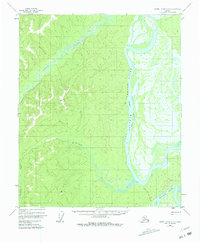
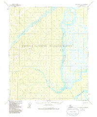
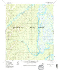
Editions of this 1952 Kateel River A-4 Map
5 editions found
Other maps of this area

1945 · Nulato
USGS Topo · 1:250,000

1951 · Nulato
USGS Topo · 1:250,000

1951 · Kateel River
USGS Topo · 1:250,000

1952 · Nulato D-3
USGS Topo · 1:63,360

1952 · Nulato D-5
USGS Topo · 1:63,360

1952 · Kateel River A-4
USGS Topo · 1:63,360

1952 · Nulato D-4
USGS Topo · 1:63,360

1952 · Kateel River A-3
USGS Topo · 1:63,360

1952 · Kateel River B-3
USGS Topo · 1:63,360

1952 · Nulato
USGS Topo · 1:250,000