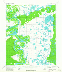
1954 Map of Kateel River C-1
USGS Topo · Published 1964About this map
The Koyukuk River meanders through this interior Alaska landscape, creating a complex network of wetlands and oxbow lakes characteristic of the mid-1950s. Human presence is sparse, centered on small outposts such as Heslia and Richards Camp. These sites, along with a remote Landing Strip and Simons Cabin, illustrate the reliance on seasonal transport and river access in this era. Navigation through the region depended on water features like Racetrack Slough and the overland Winter Trail. Large bodies of water, including Boat Lake, Fivemile Lake, and Netholzen de Lake, dominate the eastern terrain, while evidence of earlier habitation appears at the site of Ruins near the riverbank. This survey captures a period of transition where traditional land use and early bush aviation intersected in the Yukon-Koyukuk region.
Find a feature on this map
17 named features on this map. Tap any name to fly to it.
Don’t see what you’re looking for? This feature index may not catch every label — zoom into the map to look around manually.
Map Details
Editions of this 1954 Kateel River C-1 Map
3 editions found
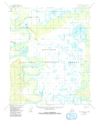
Other maps of this area

1951 · Kateel River
USGS Topo · 1:250,000

1951 · Melozitna
USGS Topo · 1:250,000

1952 · Kateel River B-1
USGS Topo · 1:63,360

1952 · Kateel River B-2
USGS Topo · 1:63,360

1954 · Kateel River C-2
USGS Topo · 1:63,360

1954 · Melozitna C-6
USGS Topo · 1:63,360

1954 · Kateel River C-1
USGS Topo · 1:63,360

1954 · Kateel River D-1
USGS Topo · 1:63,360

1954 · Melozitna D-6
USGS Topo · 1:63,360
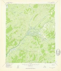
1954 · Melozitna B-6
USGS Topo · 1:63,360