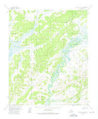
1954 Map of Melozitna B-4
USGS Topo · Published 1974About this map
Melozitna River meanders across this interior landscape, defining a complex system of oxbows and wetlands in the Alaskan wilderness of the 1950s. The terrain is characterized by the confluence of major waterways and high ridges, where the Dutli River and Big Creek drain toward the primary river valley. Surveyed in the early post-war era, the map records a region essentially devoid of roads or trails, relying instead on natural navigation along the banks and ridges. This sheet shows the geographic intersection of the Base Line with the intricate topography of the Yukon-Koyukuk region. The lack of human infrastructure highlights a time when land lines were predetermined by the Bureau of Land Management but remained unsurveyed and unmarked on the ground, leaving the physical landscape as the primary guide for explorers and surveyors.
Find a feature on this map
4 named features on this map. Tap any name to fly to it.
Don’t see what you’re looking for? This feature index may not catch every label — zoom into the map to look around manually.
Map Details
Editions of this 1954 Melozitna B-4 Map
3 editions found
Other maps of this area

1951 · Melozitna
USGS Topo · 1:250,000

1953 · Melozitna A-4
USGS Topo · 1:63,360
1954 · Melozitna A-5
USGS Topo · 1:63,360

1954 · Melozitna B-3
USGS Topo · 1:63,360
1954 · Melozitna A-3
USGS Topo · 1:63,360

1954 · Melozitna C-4
USGS Topo · 1:63,360
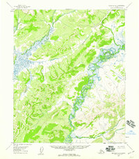
1954 · Melozitna B-4
USGS Topo · 1:63,360

1954 · Melozitna C-5
USGS Topo · 1:63,360
1954 · Melozitna B-5
USGS Topo · 1:63,360

1954 · Melozitna C-3
USGS Topo · 1:63,360