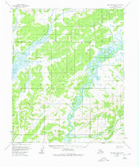
1954 Map of Melozitna B-4
USGS Topo · Published 1980About this map
The Melozitna River winds through this interior Alaskan wilderness, exhibiting a complex series of oxbow lakes and abandoned channels that indicate a highly active fluvial landscape. Surveyed in the early 1950s using photogrammetric methods from 1952 aerial photography, the map reveals a terrain dominated by expansive wetlands and intricate waterways. In the northern portion of the quadrangle, the Dulbi River cuts across the landscape, while the southern reaches are marked by the presence of Big Creek. This document captures the region during a period of systematic federal mapping by the Geological Survey, providing a record of the Kateel River Meridian and the Base Line as predetermined by the Bureau of Land Management before extensive surface navigation or roads reached this portion of the Yukon-Koyukuk region.
Find a feature on this map
4 named features on this map. Tap any name to fly to it.
Don’t see what you’re looking for? This feature index may not catch every label — zoom into the map to look around manually.
Map Details
Editions of this 1954 Melozitna B-4 Map
3 editions found
Other maps of this area

1951 · Melozitna
USGS Topo · 1:250,000

1953 · Melozitna A-4
USGS Topo · 1:63,360
1954 · Melozitna A-5
USGS Topo · 1:63,360

1954 · Melozitna B-3
USGS Topo · 1:63,360
1954 · Melozitna A-3
USGS Topo · 1:63,360

1954 · Melozitna C-4
USGS Topo · 1:63,360
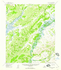
1954 · Melozitna B-4
USGS Topo · 1:63,360

1954 · Melozitna C-5
USGS Topo · 1:63,360
1954 · Melozitna B-5
USGS Topo · 1:63,360

1954 · Melozitna C-3
USGS Topo · 1:63,360