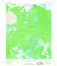
1954 Map of Kateel River C-3
USGS Topo · Published 1968About this map
The Koyukuk River dominates the southeastern quadrant of this interior Alaska landscape, where complex braided water systems define the geography. During the early 1950s, this area remained largely unsettled except for ephemeral locations like Vincents Camp along the riverbank. The hydrological complexity is evident in features such as the meandering Three Day Slough and the sharp turn of Colville Bend.
Find a feature on this map
11 named features on this map. Tap any name to fly to it.
Don’t see what you’re looking for? This feature index may not catch every label — zoom into the map to look around manually.
Map Details
Editions of this 1954 Kateel River C-3 Map
2 editions found
Other maps of this area

1951 · Kateel River
USGS Topo · 1:250,000

1952 · Kateel River B-3
USGS Topo · 1:63,360

1952 · Kateel River B-2
USGS Topo · 1:63,360

1952 · Kateel River B-4
USGS Topo · 1:63,360

1954 · Kateel River C-4
USGS Topo · 1:63,360

1954 · Kateel River C-2
USGS Topo · 1:63,360

1954 · Kateel River C-3
USGS Topo · 1:63,360

1954 · Kateel River D-3
USGS Topo · 1:63,360

1954 · Kateel River D-4
USGS Topo · 1:63,360

1955 · Kateel River D-2
USGS Topo · 1:63,360