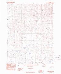
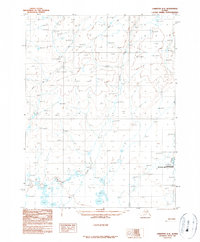
1990 Map of Christian B-4
USGS Topo · Published 1990About this map
Winter Trail cuts across the southeastern landscape, serving as a primary corridor for seasonal movement through this interior Alaskan territory. This 1990 provisional edition, compiled from 1981 aerial photography, documents the hydrological systems of the Yukon-Koyukuk region, where several significant watercourses like Kocacho Creek, Marten Creek, and Timber Creek drain the upland terrain. The presence of Flooded Lake in the lower reaches suggests a dynamic environment shaped by seasonal melt and shifting drainage patterns. As a provisional map, it represents a precise moment in the ongoing efforts of the Geological Survey to document the remote northern wilderness, prioritizing topographic accuracy and waterway navigation over permanent settlement infrastructure, which remains notably absent from this portion of the Christian quadrangle.
Find a feature on this map
5 named features on this map. Tap any name to fly to it.
Don’t see what you’re looking for? This feature index may not catch every label — zoom into the map to look around manually.
Map Details
Editions of this 1990 Christian B-4 Map
This is the sole edition of this map. No revisions or reprints were ever made.
Other maps of this area

1951 · Christian
USGS Topo · 1:250,000

1956 · Christian
USGS Topo · 1:250,000
1972 · Christian C-3
USGS Topo · 1:63,360
1983 · Christian C-3
USGS Topo · 1:63,360
1990 · Christian C-4
USGS Topo · 1:63,360
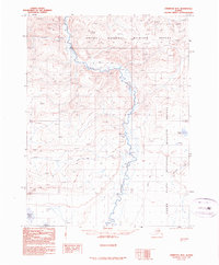
1990 · Christian B-3
USGS Topo · 1:63,360
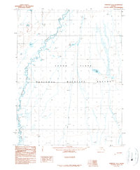
1990 · Christian A-3
USGS Topo · 1:63,360
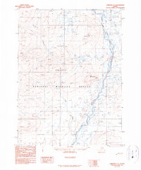
1990 · Christian C-5
USGS Topo · 1:63,360
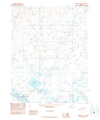
1990 · Christian A-5
USGS Topo · 1:63,360
1990 · Christian A-4
USGS Topo · 1:63,360