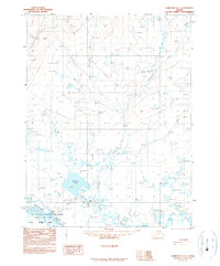
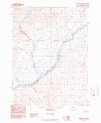
1990 Map of Christian A-5
USGS Topo · Published 1990About this map
Venetie sits along the north bank of the Chandalar River, serving as a vital hub in this remote Interior Alaska landscape. This 1990 provisional survey documents the area's essential infrastructure, including a Landing Strip and a Cem located just south of the settlement. The surrounding terrain is a complex network of wetlands and thermokarst features within the Yukon Flats, where the Arctic National Wildlife Refuge encompasses the southern portion of the sheet. Numerous lakes, such as Venetie Lake, Jackfish Lake, and the Tetraun Lakes, dominate the geography. Transport through the drainage of Kocacho Creek is facilitated by a Winter Trail, reflecting the seasonal movement patterns necessary in this subarctic environment. A distinctive Pingo is noted in the northern section, indicating the presence of permafrost and the unique geological character of the region.
Find a feature on this map
18 named features on this map. Tap any name to fly to it.
Don’t see what you’re looking for? This feature index may not catch every label — zoom into the map to look around manually.
Map Details
Editions of this 1990 Christian A-5 Map
This is the sole edition of this map. No revisions or reprints were ever made.
Other maps of this area

1951 · Fort Yukon
USGS Topo · 1:250,000

1951 · Christian
USGS Topo · 1:250,000

1955 · Fort Yukon D-4
USGS Topo · 1:63,360

1955 · Fort Yukon D-5
USGS Topo · 1:63,360

1956 · Christian
USGS Topo · 1:250,000

1956 · Fort Yukon
USGS Topo · 1:250,000
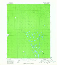
1956 · Fort Yukon D-6
USGS Topo · 1:63,360
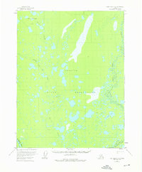
1956 · Fort Yukon D-4
USGS Topo · 1:63,360
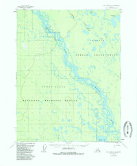
1956 · Fort Yukon D-5
USGS Topo · 1:63,360
1990 · Christian B-6
USGS Topo · 1:63,360