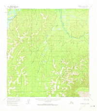
1954 Map of McGrath B-6
USGS Topo · Published 1973About this map
The Kuskokwim River defines the northwestern corner of this interior Alaska landscape, captured during the mid-1950s. The terrain transitions from the low-lying, swampy floodplains of the Selatna River and First Fork to the high elevations of the Kuskokwim Mountains. Geodetic control points like VABM Heart, VABM Upstart, and VABM Situk mark the prominent peaks, providing essential references for this photogrammetric survey. This edition documents a wilderness area without established roads or permanent settlements at the time of the field annotation, emphasizing the complex drainage patterns and relief that characterized the Yukon-Koyukuk region before more modern infrastructure reached deep into the bush.
Find a feature on this map
6 named features on this map. Tap any name to fly to it.
Don’t see what you’re looking for? This feature index may not catch every label — zoom into the map to look around manually.
Map Details
Editions of this 1954 McGrath B-6 Map
2 editions found
Other maps of this area

1949 · McGrath
USGS Topo · 1:250,000

1950 · McGrath
USGS Topo · 1:250,000

1951 · Iditarod
USGS Topo · 1:250,000

1954 · Iditarod B-1
USGS Topo · 1:63,360

1954 · Iditarod A-1
USGS Topo · 1:63,360

1954 · McGrath B-6
USGS Topo · 1:63,360

1954 · McGrath C-6
USGS Topo · 1:63,360

1954 · McGrath B-5
USGS Topo · 1:63,360
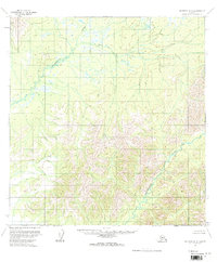
1954 · McGrath A-5
USGS Topo · 1:63,360
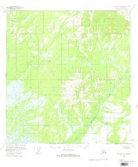
1954 · McGrath A-6
USGS Topo · 1:63,360