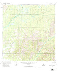
1954 Map of McGrath A-5
USGS Topo · Published 1964About this map
Tatlawiksuk River meanders through the northern lowlands of this interior Alaskan landscape, which transitions sharply into the high, unnamed elevations of the central and southern reaches. Compiled from aerial photography taken in the early 1950s, this survey reveals an almost entirely untouched wilderness where natural drainage patterns define the geography. In the southeastern portion of the map, the Cheeneetnuk River cuts a path through steep, densely contoured ridges. The lack of roads, trails, or structures throughout this region highlights its state as a true frontier during the mid-century period. For those interested in the raw topography of the Kuskokwim River drainage, this sheet provides a detailed study of the intricate stream networks and high mountain passes that existed before more modern development reached the Alaskan interior.
Find a feature on this map
2 named features on this map. Tap any name to fly to it.
Don’t see what you’re looking for? This feature index may not catch every label — zoom into the map to look around manually.
Map Details
Editions of this 1954 McGrath A-5 Map
2 editions found
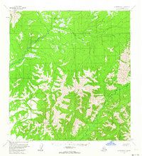
Other maps of this area

1949 · McGrath
USGS Topo · 1:250,000

1950 · McGrath
USGS Topo · 1:250,000

1951 · Lime Hills
USGS Topo · 1:250,000

1954 · McGrath B-4
USGS Topo · 1:63,360

1954 · McGrath B-6
USGS Topo · 1:63,360

1954 · McGrath A-4
USGS Topo · 1:63,360
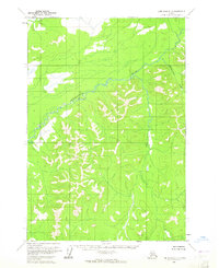
1954 · Lime Hills D-7
USGS Topo · 1:63,360

1954 · Lime Hills D-6
USGS Topo · 1:63,360

1954 · McGrath B-5
USGS Topo · 1:63,360
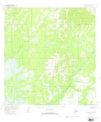
1954 · McGrath A-6
USGS Topo · 1:63,360